


Smoke from devastating Canada wildfires visible from space | Space photo of the day for July 17, 2026

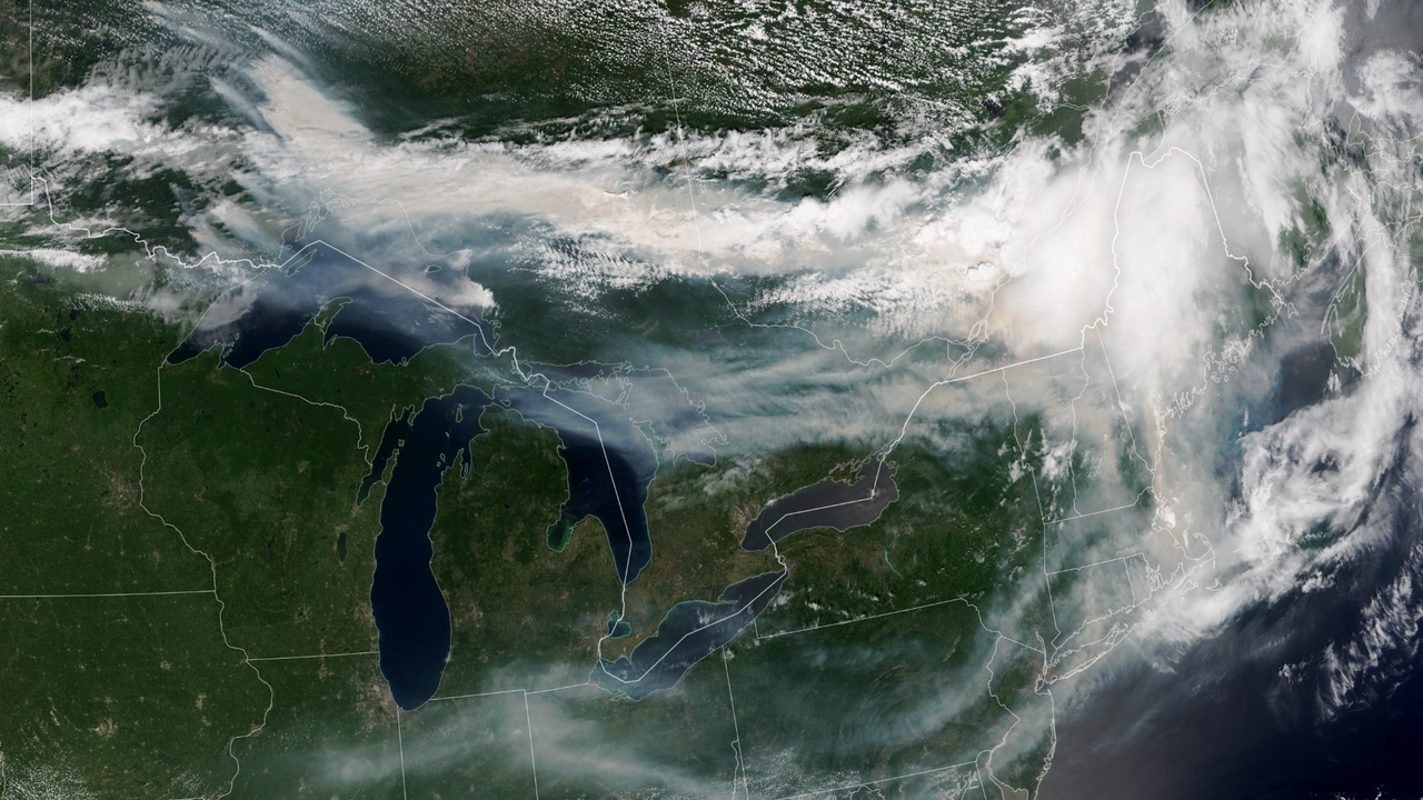
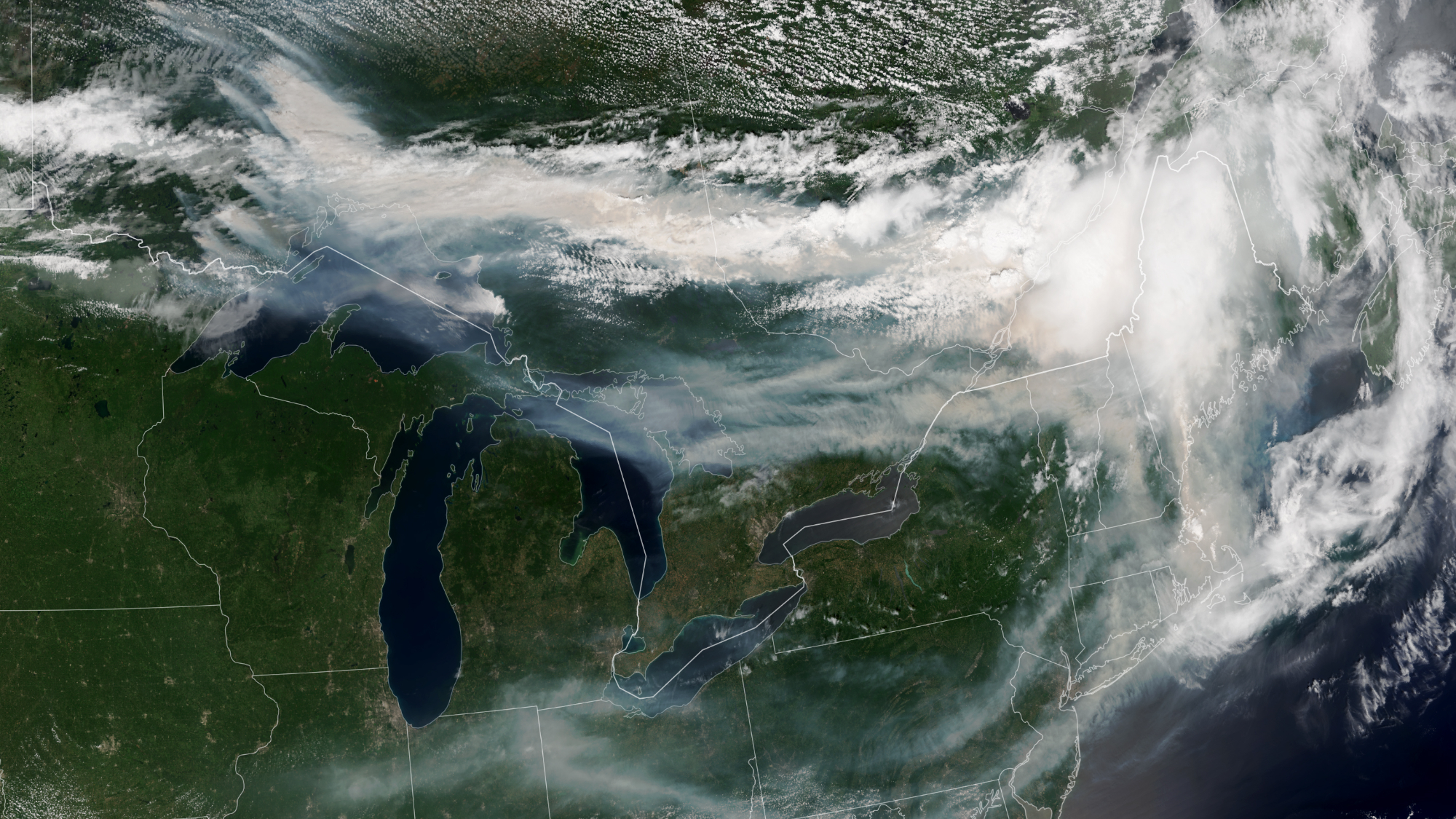
The wildfires tearing across Canada are so extreme that the smoke billowing upward can be seen from space.
What is it?
Over 850 wildfires are currently devastating Canada, as reported by the Canadian Interagency Forest Fire Center. The fires are spreading across Manitoba, Saskatchewan and Ontario; most remain completely uncontrolled.
In addition to the immense destruction caused by the fires themselves, the smoke from these fires is causing serious concerns about dangerously poor air quality all across Canada and even in the northeastern United States. As far as New York, the air quality on Thursday (July 16) was labeled "very unhealthy" after the state activated emergency air quality protocols.
The smoke is so expansive it's clearly visible in this image captured on July 14 from Earth orbit.
Why is it noteworthy?
Studying wildfires and wildfire smoke from orbit can give us a bigger picture view of these catastrophic event. This data is important for disaster relief in the short term — but also in the long-term. With climate change continuing to progress due to human activities like burning coal for cheap power, we can expect natural disasters to worsen. Among the many effects of climate change, this includes longer and more intense wildfire seasons, especially in regions that are already susceptible to fire such as these regions across Canada.
The new image was captured by the NOAA-21 satellite with the instrument VIIRS (Visible Infrared Imagine Radiometer Suite). You can see massive plumes of smoke over southeastern Canada treading into the northeastern U.S. Thick smoke covers swaths of Canada's landscape and wisps of smoke trail all the way down through New York and across the U.S.
Most of this smoke, at least the smoke we can see in this satellite image, is coming from wildfires in northwestern Ontario. As the wildfires continue to burn, satellites like NOAA-21 will be keeping watch.
What's Your Reaction?
 Like
0
Like
0
 Dislike
0
Dislike
0
 Love
0
Love
0
 Funny
0
Funny
0
 Wow
0
Wow
0
 Sad
0
Sad
0
 Angry
0
Angry
0











Comments (0)